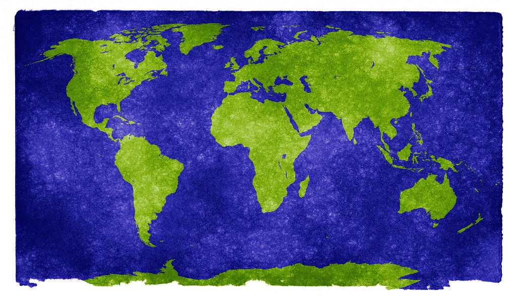
The United Nations General Assembly has endorsed a new world map that more accurately represents Africa's size, marking a significant shift in global cartography. The resolution, backed by African nations and advocacy groups, aims to correct the long-standing distortion in conventional maps that shrink Africa and enlarge Europe and the United States. This change reflects a growing push for more equitable geographic representation, with the new map using an equal-area projection to better reflect the true proportions of continents and regions.
The United States, however, became the only country to vote against the resolution, criticizing the move as undermining the credibility of the United Nations. American officials argued that the resolution could lead to misinterpretations of global geography and questioned its relevance to international diplomacy. Despite the U.S. Opposition, the resolution passed with overwhelming support, highlighting the increasing influence of African-led initiatives in shaping global standards.
The new map, which will be officially adopted by the UN, is expected to be used in educational and governmental contexts to provide a more accurate understanding of global geography. Advocates emphasize that the change is symbolic but important, as it challenges the historical biases embedded in traditional map projections. The resolution also underscores the role of international cooperation in addressing long-standing issues of representation and equity.